Code for Resilience
Code for Resilience Dar es salaam
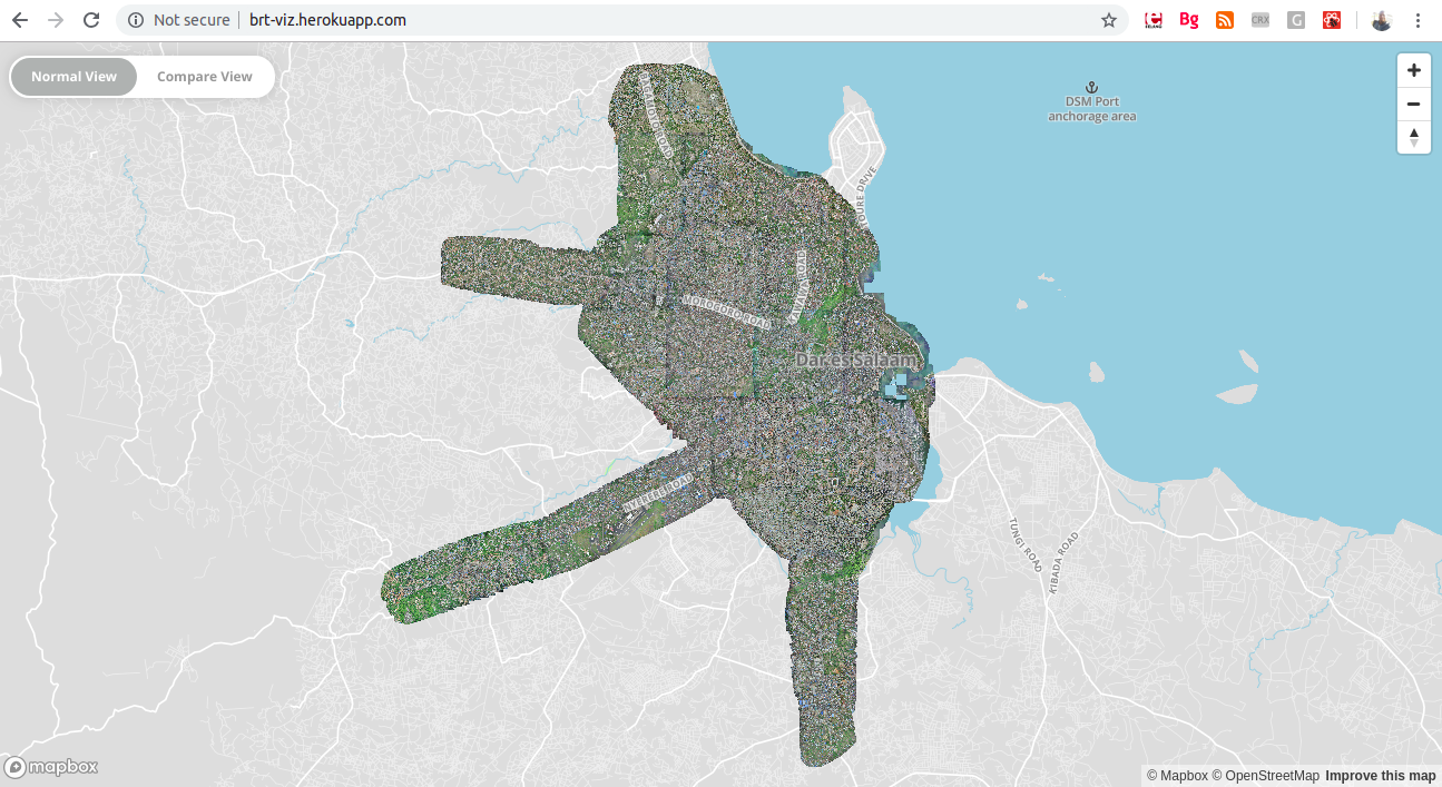
Dar es Salaam and Stone Town are the two primary cities of Mainland Tanzania and Zanzibar with populations of 5.5 million and 150,000 respectively. Each of these cities and their country have unique challenges and natural hazards. Dar es Salaam for instance is challenged by bi-annual flooding, impacting many thousands of its citizens every year. In response to this, the World Bank, GFDRR, Humanitarian OpenStreetMap Team and the Red Cross are supporting the Tanzanian Commission of Science and Technology, Buni Innovation Hub, Dar es Salaam City Council, Ardhi University and the University of Dar es Salaam with a community mapping for flood resilience project, Ramani Huria.
In coordinating all of these actors, Ramani Huria has leveraged the skills of over 100 community members, 150 students, collecting data in the most flood prone neighbourhoods of Dar es Salaam, making maps and underlying data freely available for Dar es Salaam.
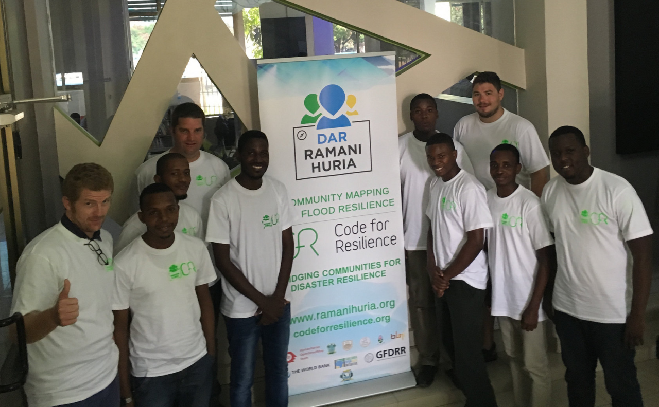
In 2015, Ramani Huria, in collaboration with the World Bank, had the opportunity to host the Code for Resilience program in Dar es Salaam, Tanzania. This initiative aims at bringing together local talent, international expertise, and community knowledge under one roof with a shared goal: to develop innovative tools that address the real challenges posed by natural disasters in a specified region.
As part of the World Bank team, I supervised the Code for Resilience fellows and mentored them. Each of the fellows was assigned a problem statement (project) from which they had to design and implement a solution.
Each of these projects and others were initiated on January 30th 2015, via a collaborative event at the Buni Innovation Hub in Tanzania, the event brought together Code for Resilience Fellows from the University of Dar es Salaam, experts from the Dar es Salaam City Council, and local developers. This initiative aimed to develop tools that enhance disaster preparedness and community resilience. Among the projects initiated were the automation of population statistics delivery and the creation of 3D-printed weather stations using recycled plastic, reflecting a commitment to sustainable and accessible technological solutions.
One significant project from this event was the development of the WorldPop API, designed to facilitate access to population data. This tool allows users to query area population statistics from the WorldPop dataset, providing valuable insights for planning and response strategies in disaster-prone regions. By automating the retrieval of demographic information, the API supports informed decision-making and efficient resource allocation during emergencies.
Another key project was the Weather Dashboard, tailored to provide real-time weather forecasts for Tandale, a neighborhood in Dar es Salaam. This dashboard offers meteorological data, enabling residents and authorities to monitor weather conditions and prepare for potential hazards. The tool exemplifies how localized information systems can empower communities to respond proactively to environmental challenges.
These initiatives underscore the potential of collaborative efforts in leveraging technology for disaster resilience. By combining local expertise with innovative tools, the projects developed at the Buni Innovation Hub demonstrate a promising path toward a more resilient Tanzania!
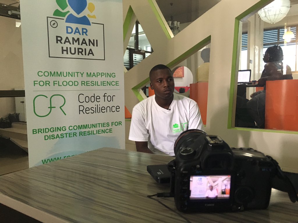 Samweli (Team Lead) getting interviewed for the Code for Resilience Tanzania Program